National Mall
TIROS
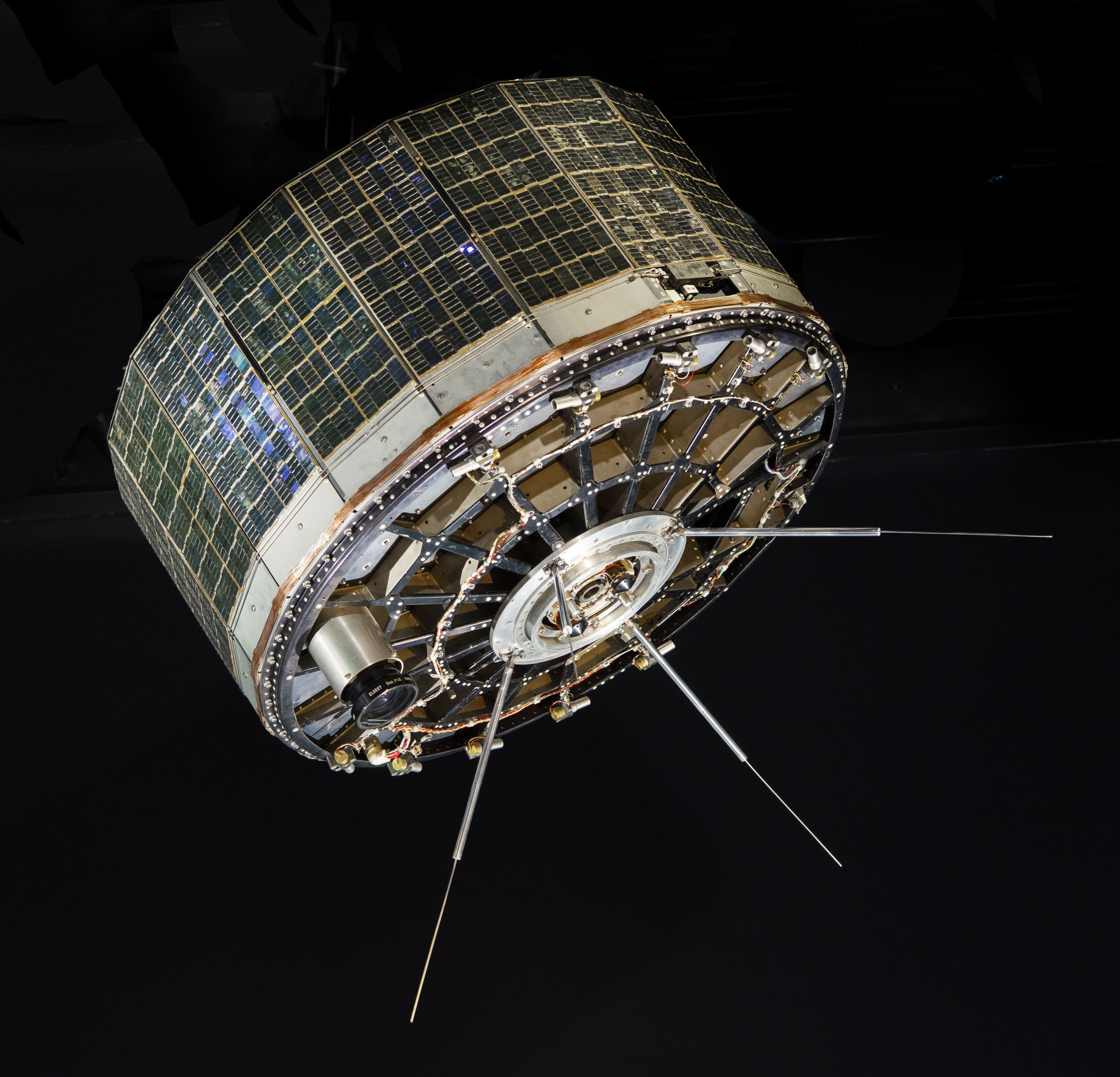
TIROS used two cameras and tape recorders to collect still images. Those pictures revealed weather patterns too large to see from one place on the ground. TIROS captured separate frames, stored them, transmitted them, and relied on ground teams to place them into larger patterns. Camera timing, orbit, power, recording, and geographic registration shaped the result.
In depth
A useful weather map had to be assembled
Orbital observation made weather a shared global system rather than only a local report. The data promised public safety while raising durable questions about funding, access, standards, and the authority to interpret environmental evidence.
A network above the horizon
Communications and observation satellites changed what it means for a place to be distant. Signals could cross oceans without depending on a continuous chain of ground stations, and instruments in orbit could repeatedly observe weather and the Earth's surface. The spacecraft mattered, but so did the ground equipment, antennas, computers, standards, and organizations that turned those signals into useful services.
Different orbits serve different purposes. A satellite that remains above roughly the same region can support continuous communication, while a lower orbit can bring an instrument closer to the surface it observes. Each choice creates tradeoffs in coverage, delay, power, lifetime, and the number of spacecraft needed. The shape of an antenna or the size of a solar array often makes those priorities visible.
The effects reach well beyond the space industry. Weather information helps aircraft plan routes. Communications connect passengers, ships, isolated communities, and emergency operations. Earth observations support science and public decisions. Images such as Earthrise also altered the cultural imagination, giving people a new view of the planet they shared. Cross-gallery links between airliners, satellites, cameras, and computers reveal how these systems grew together. The connected world is the result of many specialized machines and institutions cooperating across a distance that none could bridge alone.